By Will Kennerley
Faculty Research Assistant, OSU Seabird Oceanography Lab
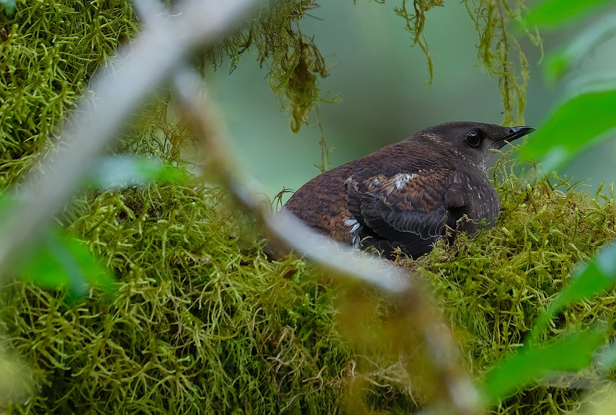
A small, dark brown seabird rises from the waves and quickly takes flight, grasping a flashing, silver fish in its short bill. This is a breeding adult Marbled Murrelet getting ready to take fresh food to its young back at the nest site. But the murrelet doesn’t follow behind the murres that are flying nearby, similarly laden with fish for their young. Instead, the Marbled Murrelet flies not to rocky sea cliffs and islands like the murres and most other seabirds, but rather into the forested, coastal hills. Here, high up in a massive, old-growth tree, this Marbled Murrelet works with its partner to raise a single chick, perched in a depression on a wide, mossy branch.
The incredible nesting strategy of Marbled Murrelets has made them uniquely vulnerable (among seabirds) to the logging of the Pacific Northwest’s ancient old-growth forests. Like the more popularized Northern Spotted Owl, Marbled Murrelets have seen their populations fall with the old trees; the result is that both species are now the focus of critical population monitoring efforts as part of the Northwest Forest Plan. Both Northern Spotted Owls and Marbled Murrelets are listed as Threatened under the U.S. Endangered Species Act, and it is only through population monitoring surveys that we can learn how these species are faring.
Some of these surveys for Marbled Murrelets occur via small boat work up and down the U.S. Northwest Coast, featuring a small team of researchers aboard to count and record murrelets observations. These at-sea surveys zigzag along the coast and collect the data necessary for informed estimates of Marbled Murrelet population sizes and distribution . This survey work has been conducted regularly since the mid-1990s, reliably providing an invaluable dataset documenting murrelet population changes while battles over old-growth forest cutting were waged on land and while coastal oil spills and marine heatwaves added new stressors to marine life.
This year, unfortunately, the survey’s annual start date of May 15th came and went without any word on when pending grant money would arrive from the US Fish & Wildlife Service. Primed and ready for work, our lab was forced to wait for the promised federal funds to arrive before we could begin; we knew the murrelets wouldn’t wait and no amount of money can bring this lost time back.
Fully halfway into our eleven week field season, funding suddenly came through – a delay without precedent in the nearly 30 years of this program. The lost time means that this year’s survey effort won’t be able to provide a proper population estimate in meeting with Northwest Forest Plan monitoring. However, with a potentially record-breaking El Nino developing, these data will still provide a valuable context for Marbled Murrelet populations in 2026. Following the confirmation of funding, a mad scramble arose to get out on the water and collect as much data as we could before the entire season was lost. Thanks to the hard work of our team and the support of the OSU Small Boat Program, it took only two weeks before we were on the road with our gear packed, boat on the trailer, heading out to our first port.
Surveying At-sea
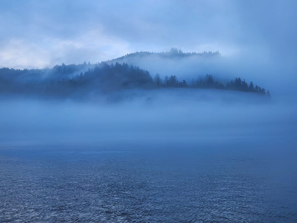
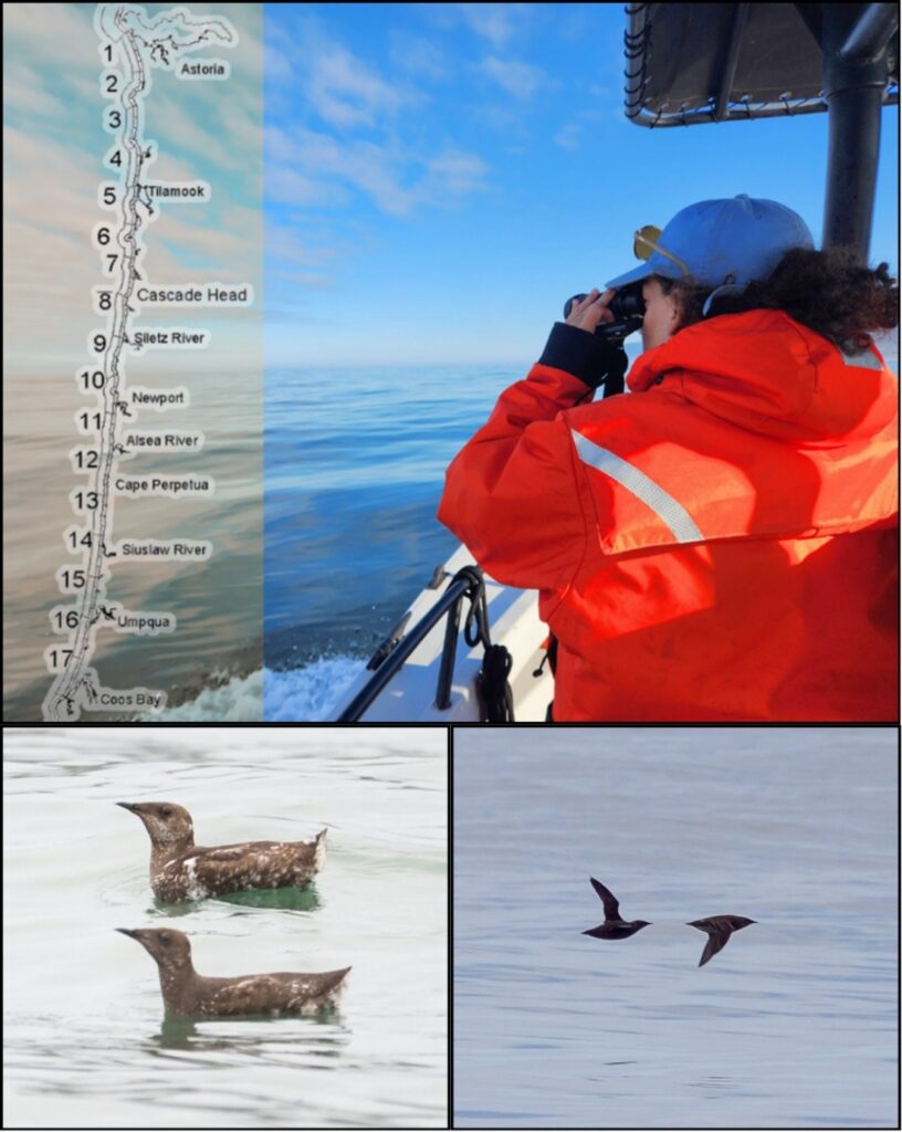
A typical day began before dawn at a campsite in a small, coastal Oregon town (Figure 2). Damp fog hung coolly in the air as we packed up camp and launched our boat, a 27’ Boston Whaler named the Mishki (an indigenous Siletz word for ‘seabird’). Once the sun was up and the fog cleared (hopefully!), we were able to get to work, following a series of transect lines along the coastline in one of the 17 separate primary sampling units (PSUs; Figure 3) within this year’s survey zone.
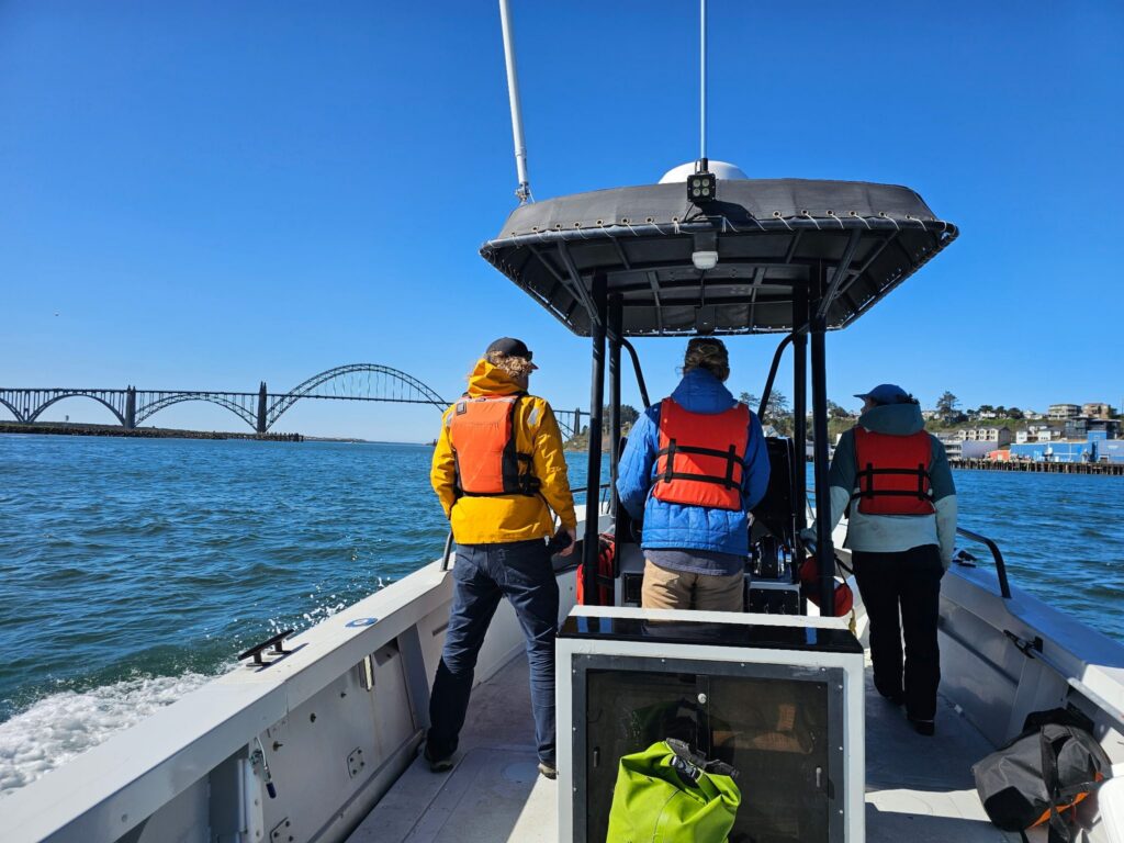
While on survey, our team of three researchers divided up duties: one surveyed the port (left) side of the vessel, another surveyed the starboard (right) side, while a third drove the Mishki along a randomized transect line. To minimize observer bias, roles were rotated throughout the day. For this to work, each member of the team has to be both a skilled observer and boat operator.
In short, we followed a line transect protocol looking for Marbled Murrelets, aiming to count each and every murrelet we could see from the vessel as we moved along the coast. For each sighting, we recorded the number of murrelets seen, the age and molt class, the bird’s behavior, and an estimate of how far off the transect line the bird was located. Sometimes we got to observe murrelets at close-range on the surface and could fully appreciate the subtle beauty of their “marbled” plumage. As often as not, however, murrelets were detected at substantial distances, flying quickly on dark, rapidly-beating wings in a distinctive, bumblebee-like flight (Figure 4). Look away for just a moment and you could easily miss some of these challenging-to-survey seabirds!
Additionally, we counted all birds seen on the water within 50 meters of the vessel’s path as well as all marine mammals observed, regardless of distance. These data provide valuable insight into how the whole community of coastal marine life is faring, from Common Murres (Strong & Duarte 2023) to Gray Whales (Barlow et al. 2024). These data on the ecological community provide essential context for any changes observed in Marbled Murrelet population size or distribution.
Our team followed predetermined transect lines comprised of ~5 km segments at varying distances from shore, as well as a zigzagging transect line farther offshore. This variation helps biologists capture inshore-offshore gradients of murrelet distributions since murrelets may be found in different parts of Oregon’s coastal waters depending on the time, place, and conditions. In general, we noted the greatest concentrations of Marbled Murrelets along Oregon’s central coast (roughly from Depoe Bay to Florence), about 500 to 1200 m offshore of sandy beaches. This area has some of the state’s largest remaining tracts of coastal, old-growth forests for nesting and these shallow, sandy-bottomed waters shelter the schools of sandlances, herrings, and other small fishes that murrelets rely upon for food.
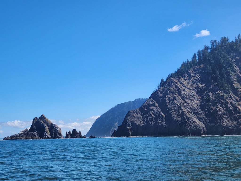
Each PSU comprises 40-50 km of total survey effort and takes about half a day to complete. Some days, the weather allowed us to complete two PSUs, although more often than not rising winds, incoming fog, bar closures, or other fast-changing conditions forced us to head back to shore in the afternoon. Once safely off the water, the boat was put on the trailer, the data was downloaded and backed up, and our team was back in the truck, driving down US-101 to our next port. We attempt to randomize our survey effort along the coast, which means we bounced back and forth, north to south and north again, completing PSUs one by one. We put a lot of miles on the truck and many hours on the Mishki’s engines, but we were rewarded with views of countless incredible seabirds and some of the country’s most spectacular coastline (Figure 4).
The evening of July 31st marked the end of this year’s abbreviated survey season. All told, we managed to complete 16 of 17 PSUs in this year’s target region – not bad for a 4 week survey season! During this time we surveyed 640 km of transect and observed more than 1,600 Marbled Murrelets, as well as thousands of other seabirds like Common Murres, Rhinoceros Auklets, and California Brown Pelicans. Our data are currently being reviewed and proofed with the hope that they’ll soon be able to provide a little more insight into how this unique seabird is surviving. Given the many challenges Marbled Murrelets face – unsustainable logging practices, marine heatwaves, El Niño events, and uncertainty in federal funding to support population monitoring – their outlook in the Northwest is far from certain. In any case, we hope to be out on the water on time next summer, collecting more data to help inform the management and conservation of this threatened species.