By Suzanne Winquist
Have you ever wished you could see what the world was like before humans?
Living in a penguin colony in Antarctica as part of the Penguin Science team is the closest I have come to getting that experience. My first season “on ice” felt like stepping out of a time machine straight into this other, animal world.


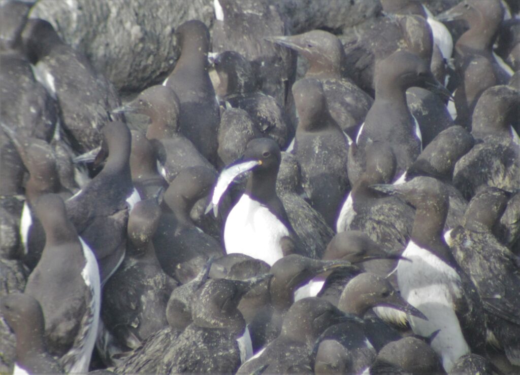
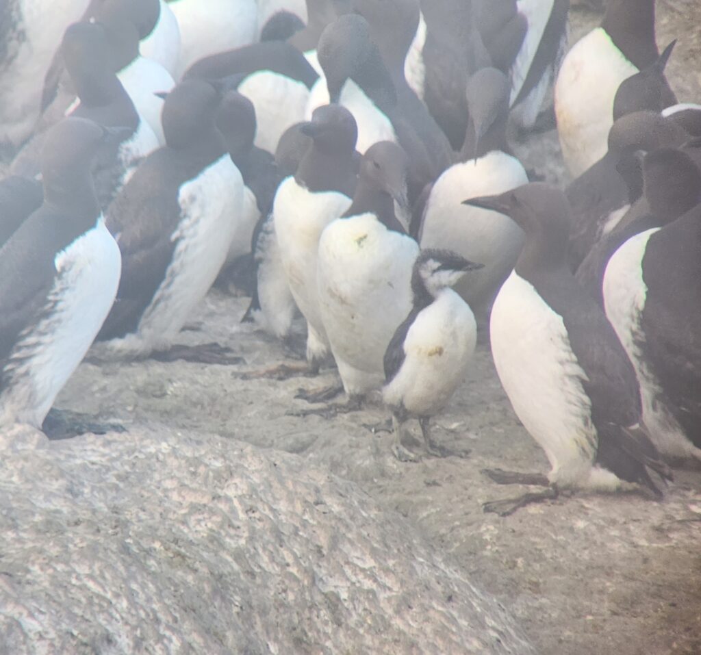
Many seabird colonies buzz with activity in the breeding season, but an Adélie penguin colony has a unique bustle filled with outsized personalities and industrious swaggers. When you multiply this by 500,000 (roughly the breeding population of the Cape Crozier colony) it is easy to be swept up by the drama and dazzle of a big penguin city.
I’ve recently arrived back from my third season studying Adélie penguins for my graduate research with OSU’s Dugger and Seabird Oceanography Labs. I spent most of this past season at Cape Royds, a much smaller colony with ~4,000 breeding adults. Any Antarctic history buffs reading this might recognize this as the site where the explorer Sir Ernest Shackleton and his crew made their home during their 1907-1909 Nimrod Expedition.

I felt a camaraderie with Sir Ernest Shackleton and his men each time I passed by their snug cabin on my short walk from camp to the penguin colony. Despite Shackleton’s crew being some of the earliest humans to set foot on Ross Island, our rustic camp life echoed the ways they lived – no running water, eating the same canned and dried foods, journaling about the same surreal landscape, and wearing enough wool to prompt thoughts of needing a personal flock of sheep. Unlike Shackleton and crew, I could pick up my satellite phone and call any corner of the planet. McMurdo Station, the US’s largest Antarctic science base, is now just a 20-minute helicopter ride away – assuming the weather is good.


Advances in technology in the past century mean it is much easier to explore and measure changes in this harsh and remote environment. The navigation, motion sensing, and image capture technology that has become small enough to fit in our pockets is, as it turns out, also small enough to be carried by a penguin.
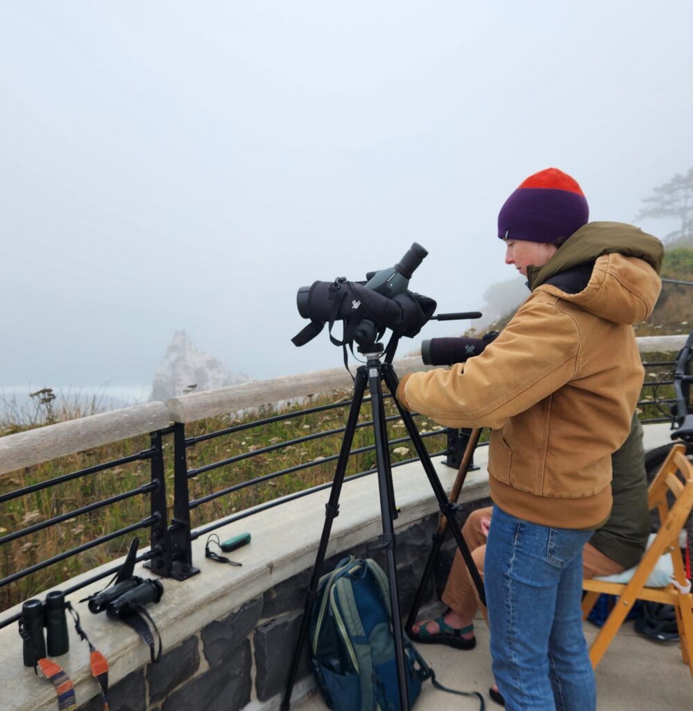
For my research, I am using miniature video loggers and dive tracking devices to get a new perspective into how penguins use their underwater habitat. These devices are taped to the feathers of breeding birds for a single foraging trip, lasting from 1-5 days. These birds are recaptured when they return to their nest to feed their chicks and the devices and the data they carry are retrieved.
With the addition of this past season, our project will have foraging video from over 60 penguins collected across three years and at two different colonies. We have already learned a lot from these videos. We have observed penguins perusing the seafloor for amphipods, snatching up bioluminescent krill in the dark of their deeper dives, and encountering dense swarms of krill, fish, and squid in extremely shallow water when foraging along the underside of the ice. Now that I am back in our human world, I will combine all this video with diving and movement data to answer more specific questions about how penguins use sea ice while foraging, the number and types of prey they capture in different underwater habitats, and the energetic costs of different foraging strategies.


Through changing climates and extractive fisheries, our human societies are increasingly connected to even the most remote corners of our planet, like the Ross Sea. It is too late to find out what this ocean looked like before the first whalers arrived. With the tools we have now, the penguins are able to aid us in exploring their underwater home, refining our understanding of what exists today so that we can be better advocates for the protections they will need to continue thriving in the future.