Trade Journal Articles
What Gardeners and Pollinators Want from Native Plants
By: Jen Hayes / Digger February 2026
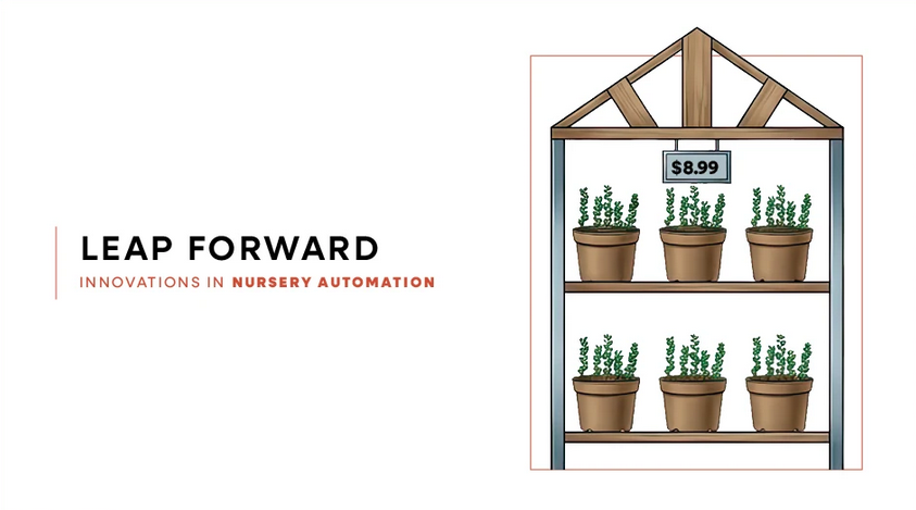
Technology Adoption in the Nursery: A Decision-Mapping Approach
By: Vashti Tatman & Laura Warner / Nursery Mag – February 2026
Scientific Journal Articles
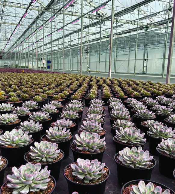
Understanding Light Requirements of Houseplants
By: Clint M. Taylor, Dalyn M. McCauley, and Lloyd L. Nackley
HortSci: Volume 61: Issue 3
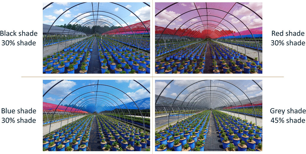
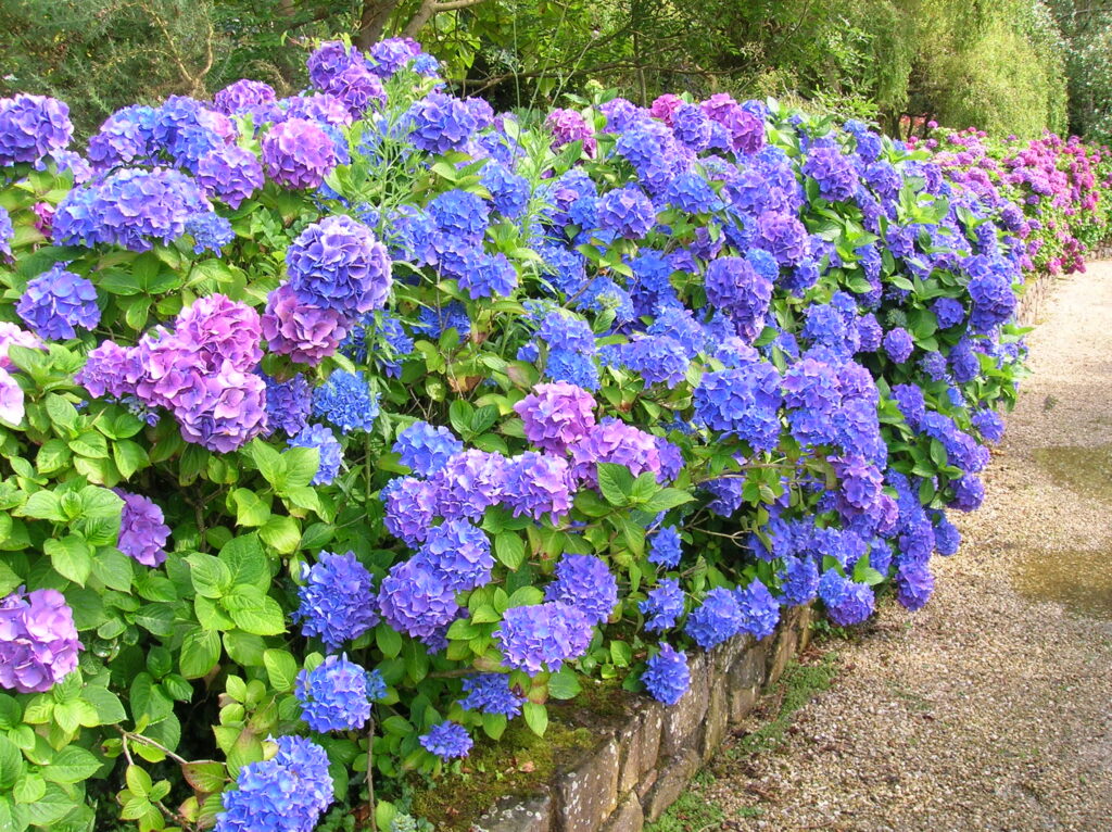
How Colored Shade Cloth Affects Hydrangea Growth
By: Stallknecht, Eric J. & Pounders, Kaitlyn.
HortTech: Volume 36: Issue 2
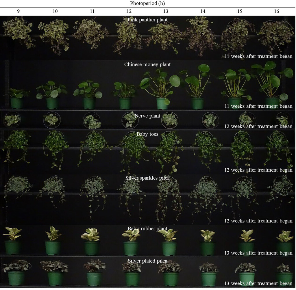
Day Length Effects on Indoor Foliage Plant Growth
By: Iro Kand & Roberto G. Lopez
HortSci: Volume 61: Issue 3

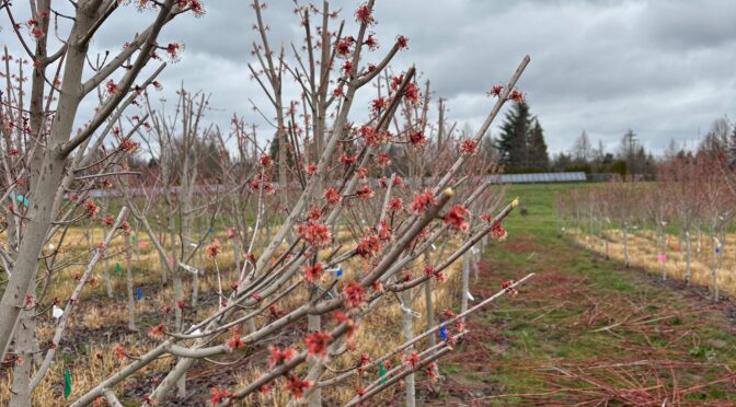
Improving Christmas Tree Establishment in the Great Lakes and Pacific Northwest
By: Bert Cregg, Riley Johnson, Judy Kowalski and Chal Landgren
Horticulturae: Volume 12: Issue 2
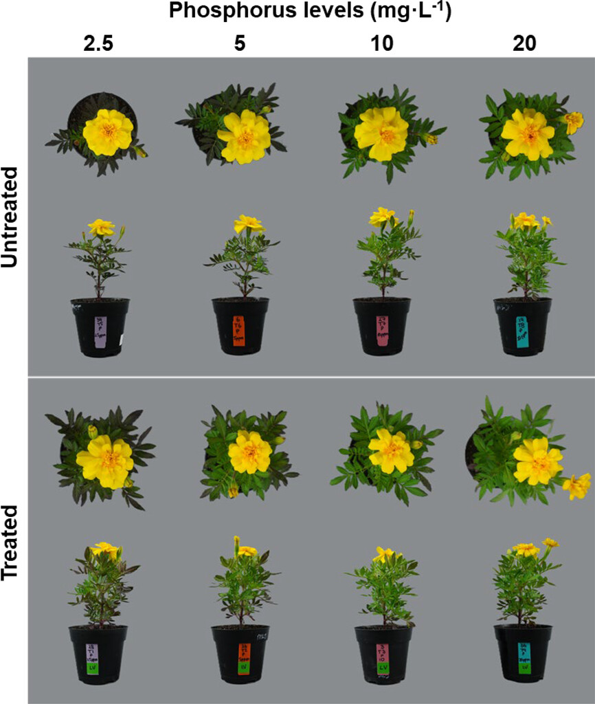
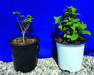
Marigold Growth Responses to a Bacillus velezensis Biostimulant and Phosphorus
By: Alexandra Espinoza-Ayala, Juan Quijia-Pillajo, W. Garrett Owen, Michelle L. Jones