This blog is a bit of a throw-back, but an experience I’ve been meaning to document here for some time. Before COVID-19, during the week of September 30th to October 4th, 2019, I had the opportunity to join representatives from the West Coast Ocean Tribal Caucus, my supervisors from the West Coast Ocean Alliance (WCOA) and West Coast Ocean Data Portal (WCODP), and facilitators from the Udall Foundation on an exchange trip to British Columbia and First Nations territories.
The purpose of the trip was for Tribes and First Nations with territories along the West Coast of the United States and Canada to exchange ideas and experiences related to ocean management and planning, especially as they relate to coordination with state, federal and provincial governments. The exchange was hosted by the Marine Plan Partnership for the North Pacific Coast (MaPP), which is a collaborative entity for marine planning between First Nations governments and the British Columbia provincial government.
Our first full day in British Columbia was spent in Vancouver, on the unceded territory of the Musqueam, Squamish, and Tsleil-Waututh First Nations (most First Nations in British Columbia never ceded any of their land through treaties with the Canadian or British government). After an opening prayer and introductions, this day focused on identifying benefits of and methods for collaborating on ocean planning with other indigenous governments, stakeholders, and state, federal, and provincial partners. Presentations and panels included representation from the WCOA, WCODP, MaPP, the Nanwakolas Council, the Central Coast Indigenous Resources Alliance (CCIRA), the Coastal First Nations – Great Bear Initiative, and several Tribes, First Nations, and provincial and state governments.
While our first day in Vancouver offered a compelling discussion and exchange of information, the highlight of the trip was undoubtedly our visit further north, where we spent time in the town of Campbell River on Vancouver Island— and about 12 hours on the water exploring First Nations territories in the Central Coast Region.
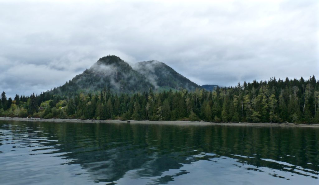
We flew to Campbell River on our second day in British Columbia, and after some additional presentations and a night of fresh seafood (Halibut! Prawns! Salmon! Clams! Crab!) and dancing as guests of the Wei Wai Kum First Nation, we departed on the boat trip early in the morning under the cover of classic Northwest clouds. The overarching purpose of this on-the-water trip was to share examples of different indigenous ocean planning projects on the Central Coast, and in particular to highlight the Indigenous Guardians Program— a program where indigenous ‘Guardians’ are employed in their territories to do ecological monitoring and protect cultural resources, and contribute to land and marine-use planning. We had a lot of stops to fit in, so while you can view our entire itinerary on the map below, I’ll just offer a few highlights in this blog.


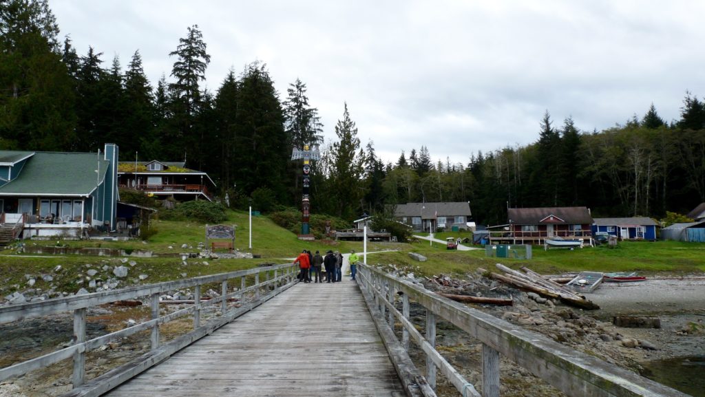
- Tsatsisnukwomi (not pictured on map): This is a village site of the Da’naxda’xw-Awaetlala First Nation, where we ate lunch. This village was actually abandoned in the 1960s, after many children were relocated because of the devastating Canadian Indian residential school system, and the lack of other teaching and healthcare resources made the isolation of the area untenable. However, in the early 2000s, several people worked hard to make the village habitable again, and a new Bighouse was unveiled in 2004. We were able to visit the inside of this Bighouse and hear stories about the village and Da’naxda’xw-Awaetlala people from the Guardian onsite.


- Port Neville: This area was identified by the Tlowitsis First Nation as a special management zone, where Guardians are currently monitoring temperature and salinity as they conduct scallop aquaculture experiments. The Tlowitsis and other First Nations in this area are aware that increased mariculture is likely coming to the region—so why shouldn’t they be the first ones to derive that economic benefit? However, issues like transporting the scallops to markets for sale and seed security are issues that will need to be overcome before this becomes a full commercial enterprise.


- Compton Island, Village Island, and Kalogwis: These stops were all part of the Arch Pilot Project, a partnership between MaPP, the Nanwakolas Council and the province of British Columbia on Tlowitsis and Mamalilikulla First Nations territories. While the Provincial Heritage Conservation Act of British Columbia is supposed to protect archeological sites like those found in these areas, Elders had been concerned for decades that it was not working – and they were right. A sailor and kayaker myself, I love exploring lesser known inlets and waterways, and I was upset to hear of the way that coastal cruisers had passed on the location of these sacred spaces over the years, unearthed archeological sites, and taken artifacts and even bones for themselves as souvenirs. The goal of this pilot project is to increase protection over and improve public knowledge of the importance of these cultural resources, and to demonstrate the effectiveness of the Guardians program in stewarding these places and resources.


After our long day on the water concluded, we had a closing dinner in Port McNeill and a three-hour bus drive back to Campbell River. The next day, it was time to head back to Vancouver and then to Oregon. Altogether, this trip was a highlight not just of my fellowship, but of my early career thus far. Not only did this trip introduce management and planning approaches that our Tribal Caucus and state and federal partners can bring back to their work in U.S., but it gave me a front row seat to what collaboration between these different entities can achieve, and that is an example that I know will stay with me. All of the participants on this trip were so pleased with the outcomes that before it ended, we were talking about continuing the exchange in the future. We hope that next time, we can host our colleagues from British Columbia and First Nations on the other side of the international border.
This exchange was funded by the Marine Conservation Initiative of the Gordon and Betty Moore Foundation. A detailed summary of the exchange, as well as a related guide for state and federal agencies working with West Coast tribes on ocean and coastal issues, will be publicly available via the West Coast Ocean Alliance later this year.


Hi Marisa, thank you for sharing your experience and the value of this exchange. I think that visit itself was tremendous, but your ability to eloquently share your reflections on the trip here provides an example for others to learn from–both in terms of the content of your post as well as the partnership model! Perhaps you can share the detailed summary here once it is released!?