BY ALEXA PIGGOTT
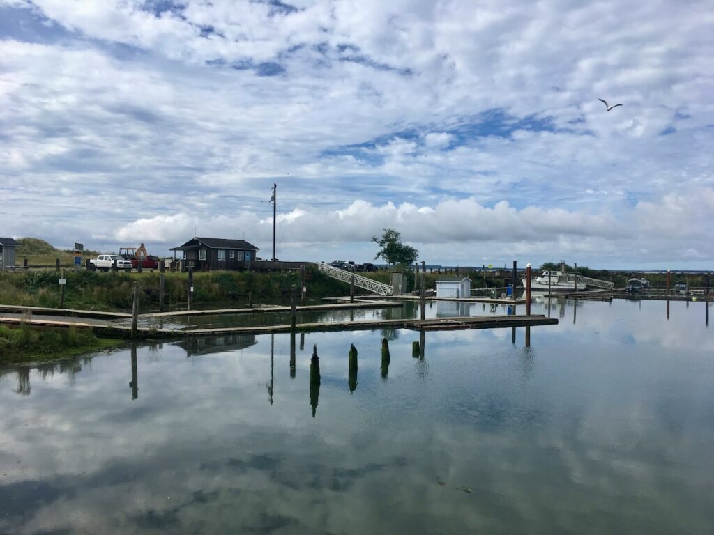
In early July, the Cormorant Oceanography Project seabird team, myself (Alexa Piggott), Adam Peck-Richardson, and Rachael Orben, traveled to the Columbia River Estuary, at the border of Oregon and Washington, to capture and tag adult Brandt’s cormorants. Our goal was to test the performance our latest GPS/GSM biologging tags made by Ornitela.


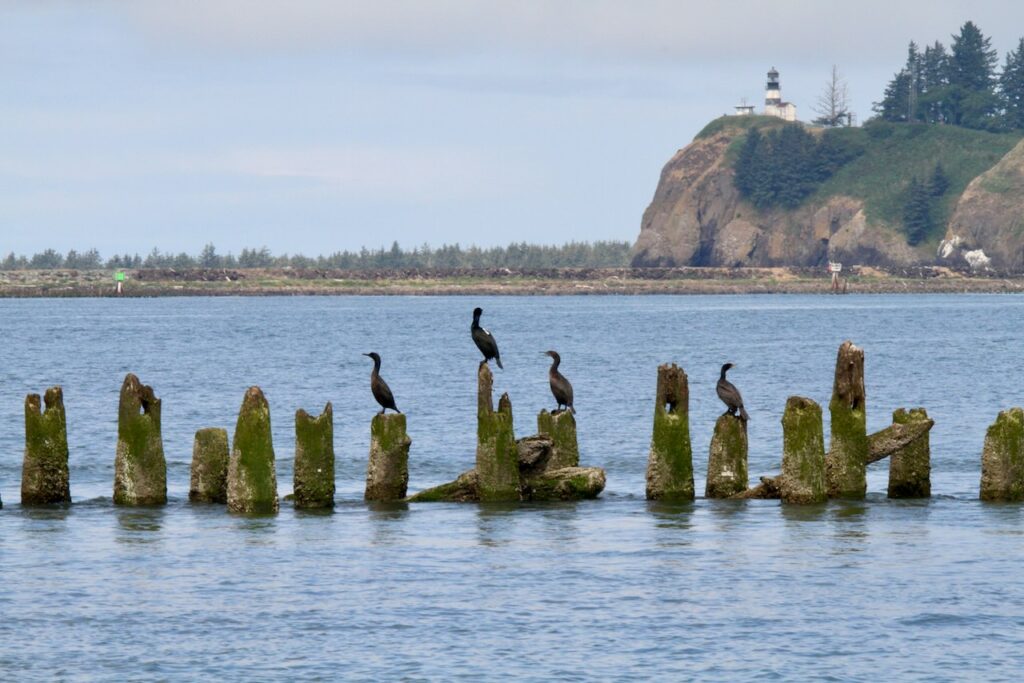
Brandt’s cormorants’ nest, roost, and forage near the mouth of the Columbia River. We were specifically targeting cormorants roosting on estuary channel markers, as these can be relatively easy locations to catch birds during the day. Over two days, we successfully deployed 6 biologging tags. Preliminary data, shows the cormorants moving and foraging near the mouth of the estuary and spending time at Cape Disappointment, WA.


We also spotted one of our newly tagged birds on the second day, resting on pilings with other cormorants and close to actively foraging Brandt’s and double-crested cormorants.


These tagged cormorants will collect detailed location and movement data, along with high quality profiles of water temperature, bottom soundings, surface currents (based on bird drift), and IMU data used to recover wave statistics. The data collected by these cormorants will be used to estimate bathymetry and circulation in the estuary and help calibrate and improve nearshore modeling.
Visualizations of these and previous tag deployments on cormorants in the Columbia River can be found on the Animal Telemetry network’s data portal.
The Cormorant Oceanography project is based at Oregon State University and funded by the Office of Naval Research.

