

Another update from me, Sarah, a Natural Resource Policy Fellow (NRPF) working for the Confederated Tribes of Coos, Lower Umpqua, and Siuslaw Indians (CTCLUSI) on their Tribal Spill Response Plan (TSRP). Last week I had the amazing opportunity to visit the places I had only seen on maps in person, with a tour of CTCLUSI’s water resources in Coos Bay and of their forestry lands. I also completed field training for oil spill response, along with members of Oregon Department of Environmental Quality, EPA, NOAA, and CTCLUSI. .

Assessment Manual at Kelly Point Park.
This SCAT (Shoreline Cleanup and Assessment Technique) training is run through NOAA’s Office of Response and Restoration and was developed for 1989 Exxon Valdez oil spill. This is a replicable method of recording the spill type, cover, any wildlife damage, and cleanup method suggestions. Completing this training in person helped me to envision what a real oil spill may look like (without the potential smells) and apply some of the oil spill response information I have been learning about through my work with the TSRP. It is critical that the SCATers identify both environmental and cultural sites of importance and record those for the cleanup operations. Ideally, there would be a SCAT representative from tribal, federal, state, local and any important stakeholder in the area.
If you are interested in signing up, consider registering with your organization!
After completing the training in Portland, I made my way to Florence, Oregon where I was shown the Lower Smith Tract of CTCLUSI’s Tribal Forest. This tract is in the Siuslaw National Forest and is adjacent to some land managed by Bureau of Land Management (BLM). This was a fantastic opportunity to see a natural resource of great importance to CTCLUSI, that is outside of my career focus in the marine sciences. Everything is connected – land and sea, environment and culture. I also saw some sites of importance in Coos Bay and surrounding areas, including Coal Bank Slough and a lookout north of Cape Arago State Park. This was an awesome opportunity to connect with the people from the Department of Natural Resources at CTCLUSI and to see the land that we’re working towards protecting.


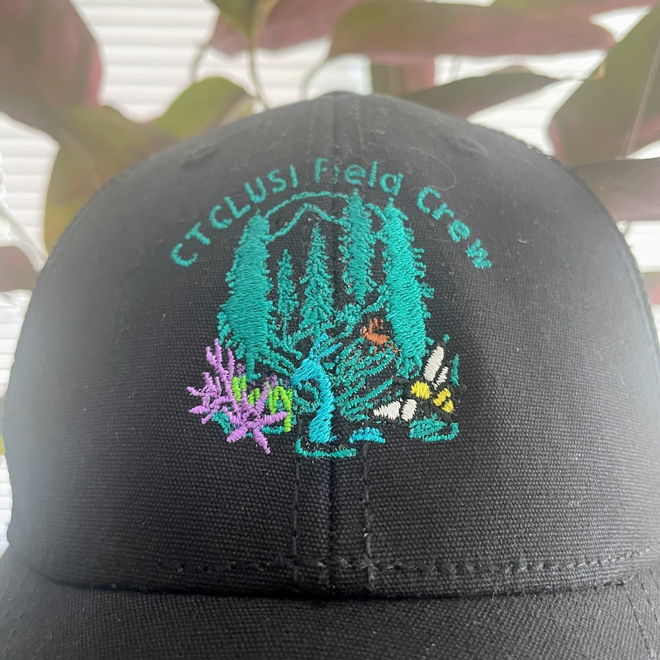
I was also gifted some CTCLUSI gear, including this hat with a logo created by Ashley Russel, the Assistant Director of the DNR. The logo art is based on a historical tale of a sea serpent that comes to shore to hunt for dear. Looking forward to wearing this the next time I’m out in the field!
Thanks for your post, Sarah! It sounds like you’ve had a really productive summer so far, and I am so glad you got to visit the south coast! Other than having a SCAT representative in the area, are there other pieces of the SCAT training that you can incorporate into the Tribal Spill Response Plan that you are working on? It seems like this is a really great resource.
That’s a good thought – I think that there is a lot of unique information in available on the appropriate clean up responses for depending on the oil type and the habitat type. This should be addressed by a SCAT team that is at an oil spill location soon after the event occurs and there is a manual with that information for SCAT members, and I think that is still a useful resource for the TSRP as to what clean up measures to expect. There is also an excellent section on complying with the National Historic Preservation Act (NHPA) that I will incorporate into the plan.
Thanks for the response Stephanie!