May 2022
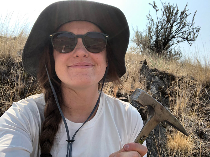
Meghan King
Growing up on the north shore of Long Island, it was inevitable that my life would be shaped by water and sediment. At the age of nine, I often wandered the rocky beach near my house with my magnifying glass for hours, examining everything from sand grains to boulders. At nine years old I became obsessed with understanding Earth’s history through sedimentary deposits, so it’s no surprise that I ended up at Oregon State for a Ph.D. in the field of stratigraphy.
Stratigraphy: It’s all about the layers
Stratigraphy is a branch of geology that studies the order of layered sedimentary rocks (strata) and their relationship to each other and the geologic time scale. These layers are an amazing archive of Earth’s history at specific geographic locations. Some more well-known examples are the Grand Canyon and Death Valley, both of which were covered by an ancient shallow sea during the Paleozoic Era (542-251 million years ago).
The strata in shallow marine environments record how sea level fluctuated in response to changes in the volume of ice sheets during glacial-interglacial periods. Typically we think of sea level as changing at the same rate and magnitude everywhere on Earth, but this an overgeneralization. As ice sheets grow during a glacial period, they push down on the crust beneath them and create a raised bulge around the periphery, just like sitting on a mattress. The opposite happens during the intervals between ice ages. This process is called glacial isostatic adjustment (GIA) and it actually causes sea level to vary at different points on Earth. A few other processes contribute to this variation as well. For example, ice sheets are large enough to exert a gravitational pull on the oceans and draw water towards them, raising sea level near the ice sheets!
Modeling rocks
I’m most interested in exploring how GIA alters the stratigraphy created by glacial-interglacial cycles. Is there a geographic pattern to this alteration? If so, can we disentangle the signal of GIA from the rest of the stratigraphic record?
How have I approached this problem? Modeling! The rich history of field and lab work in the geosciences tends to get a lot of the attention, but recently models have become an equally important tool. It’s really fascinating to think about all the questions we can begin to answer with just a few – or in my case – a lot of lines of code.
Over the past four years I’ve developed computer programs that allow me to combine sea level histories and sedimentation histories to build projected stratigraphic records from scratch. I can then compare these records across space to help us understand how GIA is affecting the preservation of glacial-interglacial signals inputted into the models.
I’ve completed a project using these models on Quaternary (2.6 million years ago to present) glacial-interglacial cycles for the West Coast, and now I’m working on expanding the project in a variety of directions. For example, I can adjust the model to apply to more globally distributed locations in the Pliocene (5.3-2.6 million years ago).
There is so much more to understand about sea-level change in the face of our warming climate. I hope that these models can be altered and applied to a range of other projects as well, maybe by the next generation of inquisitive nine-year-olds.
Photos courtesy of Meghan King
