

Hello everyone! I’m Carly, a graduate student in the Marine Resource Management program at OSU, and a Malouf Scholar this year. I research Oregon’s coastal dunes, specifically in developed areas where dunes are managed/altered for human benefit. Before coming to OSU for graduate school, I didn’t know much about the Oregon coast or coastal management, so the last 1.5 years have been full of learning and new experiences! In this post, I just wanted to introduce my research and share some highlights from my field work. In future posts, I’ll share more results and implications of what we’re doing.
You can read the section below about Oregon’s dunes and how/why people manage them, but here’s the TLDR version: Over a century ago, invasive beachgrasses spread along the PNW and built dunes that stabilized the shifting sand environment. This allowed for development on and near the beach/dunes, which created the need to manage the dunes to preserve views of the ocean and prevent sand inundation. Now, property owners mechanically move sand to lower the height of dunes (called dune grading) and sometimes revegetate them. We don’t know how dune grading and revegetating affects dune morphology, especially compared to dunes that are not altered in the same way. Ok, now you can skip to the Fun field work section!
History of Oregon’s dunes and dune management
If you’ve ever been out to the Oregon coast, you’ve probably walked near, on, or through dunes. Dunes are really cool coastal features that have the potential to provide many benefits to the humans and the environment, like protection from storms and tsunamis, carbon storage, and habitat for diverse species. But did you know that the dunes we see today haven’t always been there? In the early 1900s, the Oregon coast (and the rest of the Pacific Northwest coast) was subject to a complete landscape transformation through the introduction of two invasive beachgrasses (European Beachgrass and American Beachgrass). Industries and developers planted these beachgrasses with the intent to stabilize the shifting sand environment and allow easier coastal development. Well, their stabilization experiments were successful and the beachgrasses spread up and down the coast, building parallel ridges of vegetated dunes that back many of Oregon’s sandy beaches.
This promoted coastal development and the subsequent need to manage the dunes! Even though the invasive beachgrasses stabilized the more variable sandy environment, there is still plenty of sand that impacts buildings and infrastructure. Dune management refers to methods of altering dunes to preserve views of the ocean or prevent sand inundation via mechanically moving sand to lower the height of the dune (also called dune grading).
In Oregon, dune management practices (specifically dune grading) are regulated at the state level and implemented locally through official dune management plans. There are six communities in Oregon with official plans, and view/preventative grading is only permitted on properties that are within one of these plan areas. Also, property owners are required to revegetate dunes that are graded, but the suggested plant species vary between the areas. Thanks to the great work of faculty and grad students at OSU, we know a lot about the biophysical feedbacks between vegetation and sand supply that affect dune building. What we don’t know much about, however, is how dune grading and revegetating impacts dune form and growth over time, in comparison to dunes that are not graded/revegetated. And that’s where I come in!
Fun field work!
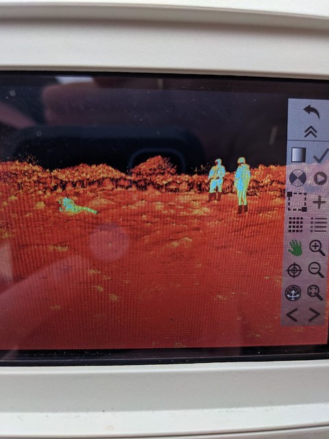
To understand how managed (graded/replanted) dunes change compared to unmanaged dunes, we first have to collect data. From October 2020 to November 2022, we regularly visited all six dune management plan areas (Seaside, Cannon Beach, Manzanita, Nedonna Beach, Pacific City, and Bayshore), plus Nehalem Bay State Park that has a managed dune area (for Western Snowy Plover habitat restoration). At these beaches, we used GPS backpacks and collected topographic data on transects that are perpendicular to the shoreline. Once a year, we also did vegetation surveys to gather data on the present species and vegetation cover.
Everyone who has done any field work knows that it can be challenging, both physically and mentally. But with good snacks, a fun crew, and (hopefully) nice weather, the work goes quickly! Big shoutout to all my friends, classmates, and lab mates who have volunteered their time and energy to walk up and down the dunes with me. In another post, I’ll share what we’ve found from this field work, but for now I’ll just share some pictures from the last 1.5 years of visiting Oregon’s beaches!
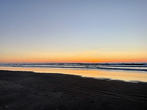
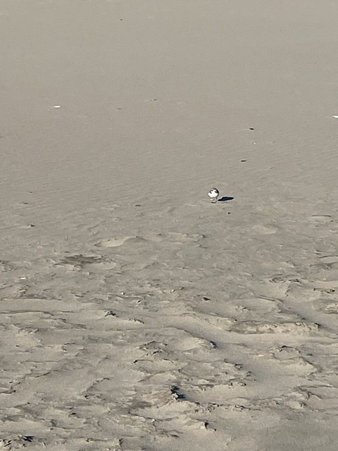
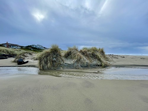
Some highlights (and laughs) from my fieldwork:


Thanks for your post Carly and for sharing snapshots from your field sites! I’m excited to learn more about what you have found from your field work in your next post. Are there both managed and un-managed dunes in a single management area? Who decides which dunes are managed?
Hi Carly. Cait Goodwin from OSU/Hatfield thought you might be interested in a consultant position we have open at the Oregon Dunes Restoration Collaborative. Our collaborative works from Coos Bay to north of Florence, primarily the Oregon Dunes National Recreation Area, removing invasive species to protect and restore the open sand habitat at the dunes. We received a grant from the National Forest Foundation to increase the partners in our collaborative. We would like to hire a consultant to reach out to local tribes, area businesses, and local government officials to generate interest and participation in the collaborative. If you are interested in the details, please send me an email, and I can send you more information. I am one of the steering committee members of ODRC. Thanks.