
The Buzz: Orthomosaics, Bathymetry Gone Awry
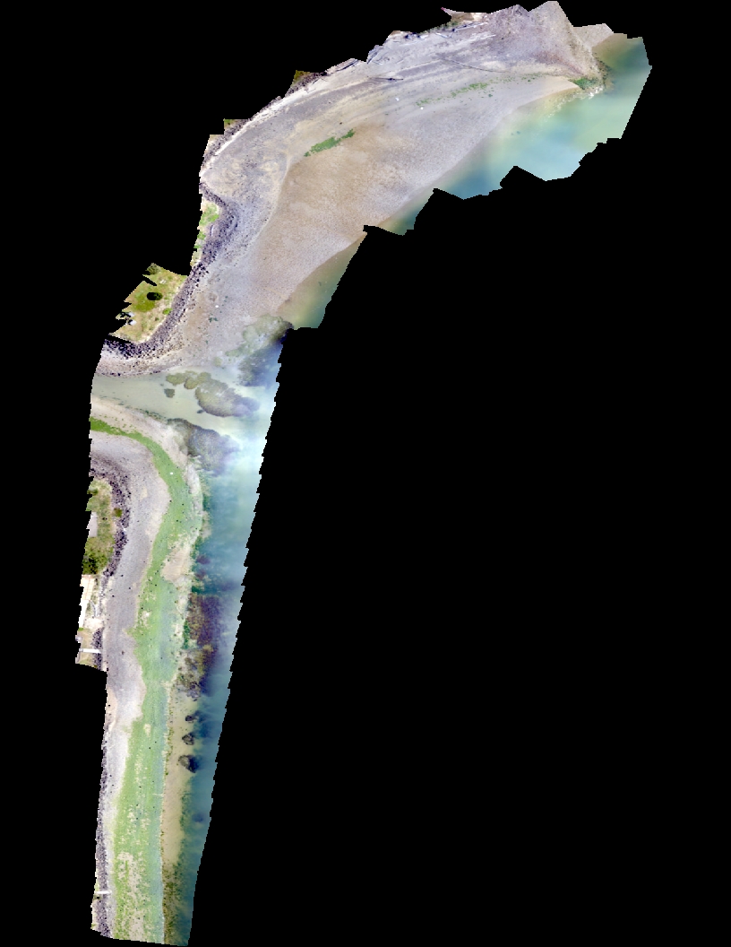
Alsea Bay Orthomosaic
Orthomosaics: Most people are familiar with the term mosaic, but throw in a suffix like “ortho” and it might be a struggle trying to define it (unless you are a classic Latin/Greek root aficionado, then you might know ortho- as meaning straight, upright, or correct). A more widely-known technique called a panorama (or more appropriately, digital panorama) uses a similar process of digital image-stitching. An image-stitch matches two or more images, pixel-by-pixel, to create a single, nearly seamless image. Map makers also find stitched images useful, particularly stitched aerial images. As you probably know, panoramic images are stretched and distorted enough that most objects do not retain their original size and position in the frame. Map makers find this quality particularly annoying as they prefer accuracy and precision, so they devised ways to correct or rectify images (particularly aerial/satellite images) using known, geometrically corrected ground control points (GCPs) to reduce or eliminate distortion. When you rectify aerial images that are taken looking straight down with geometric corrections and then stitch them together, the result is an orthomosaic: a mosaic of georectified (fancy name for geometrically corrected) aerial images suitable for mapping. Consumer digital maps use orthomosaics almost exclusively when available, especially Google Earth’s “satellite” view. Unlike Google Earth, our imagery won’t come from airplanes; it will come from UAVs! Also unlike Google Earth, our mosaics will likely allow you to count rocks on the beach rather than grainy blobs resembling cars and mythological creatures.
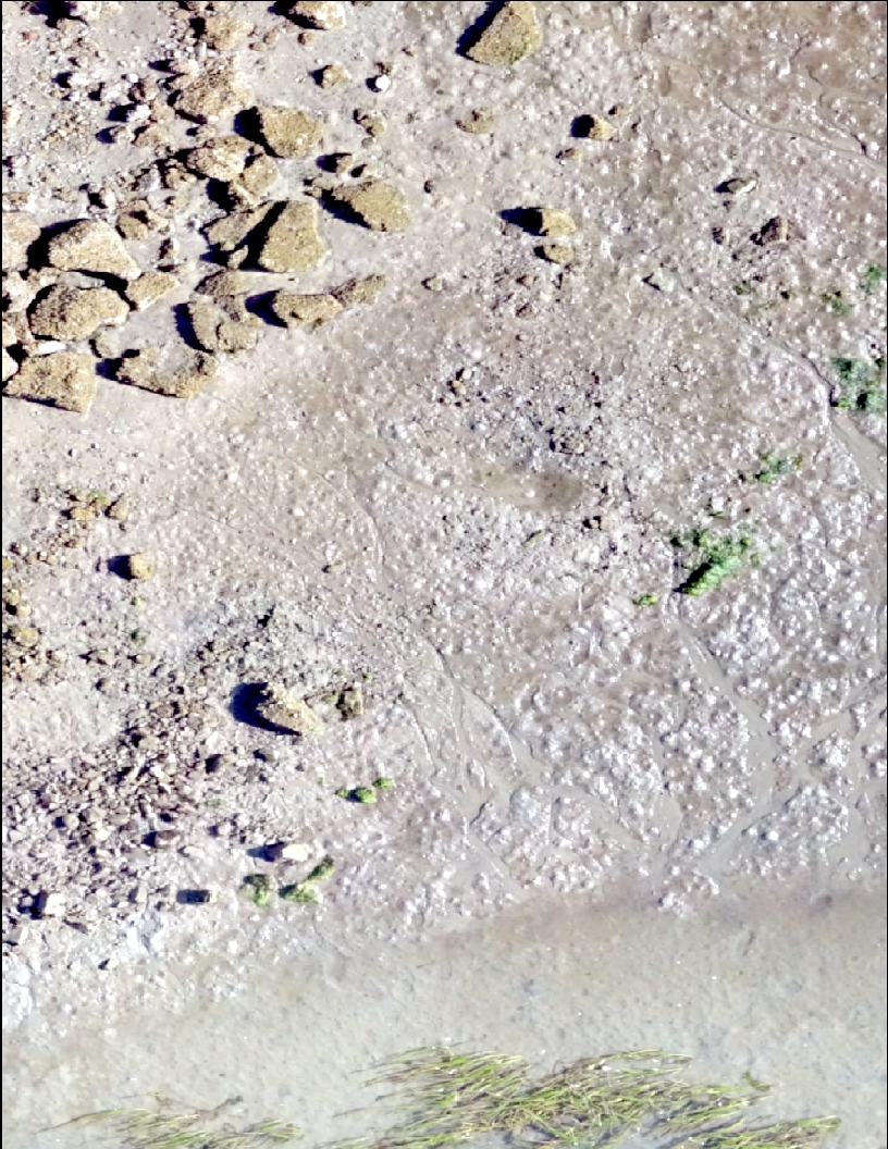
Scale 1:200
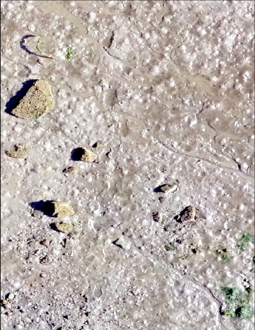
Scale 1:150
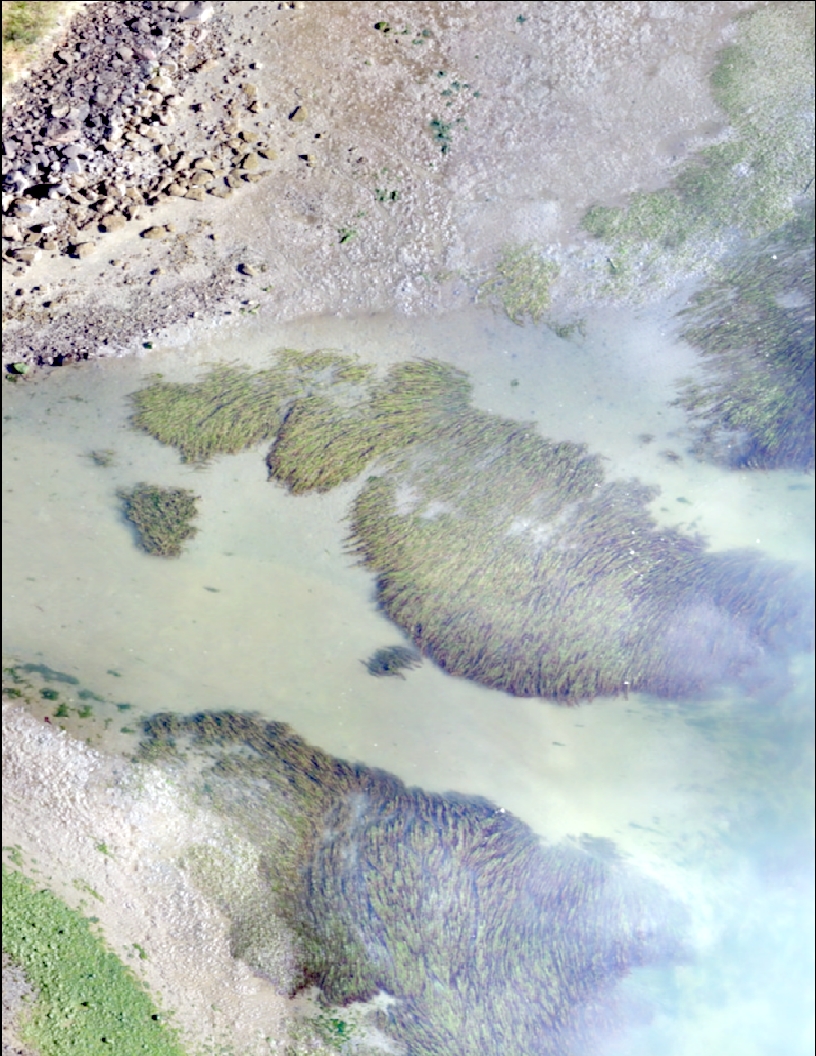
Scale 1:125
As you can see (above), our preliminary UAV missions in Alsea Bay yielded plenty of promising images. The 1:125 scale image (right) shows clear features that are smaller than 30 cm in diameter. Upon closer inspection, we can also pick out shrimp burrows and clam shows. With improvements in our technique and dialing in on clearer and more focused images with our cameras, the data we collect will only get better.
Bathymetry: Unfortunately, our Bathymetry survey in Yaquina Bay was cancelled due to equipment problems. Hopefully SEACOR will have the opportunity to make another attempt once our equipment is repaired!
Next Week: Alsea Bay, Razor Clams in Astoria
Thanks for sharing these great images, and putting the project into a bigger context of map-making. This was a very helpful tutorial on your project.
The amount you are able to zoom in on the images captured with your UAVs is outstanding! Echoing Sarah, it was extremely helpful to have you breakdown your work into simpler terms for someone rather unfamiliar with this topic such as myself.