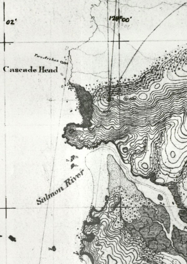
Segment of a topographical map of the Oregon Coast from Yaquina Head to Cascade Head. Originally draw in 1887.

Segment of a topographical map of the Oregon Coast from Yaquina Head to Cascade Head. Originally draw in 1887.