The Buzz: Newport, ODFW & SEACOR, UAVs and GIS
 Newport: Consistent temperature. Inconsistent weather. Weather prediction apps wildly inaccurate. Prepare for rain AND sun. Quaint maritime/fishing community reinforced by the presence of the Hatfield Marine Science Center (HMSC). Excellent farmer’s market on Saturdays.
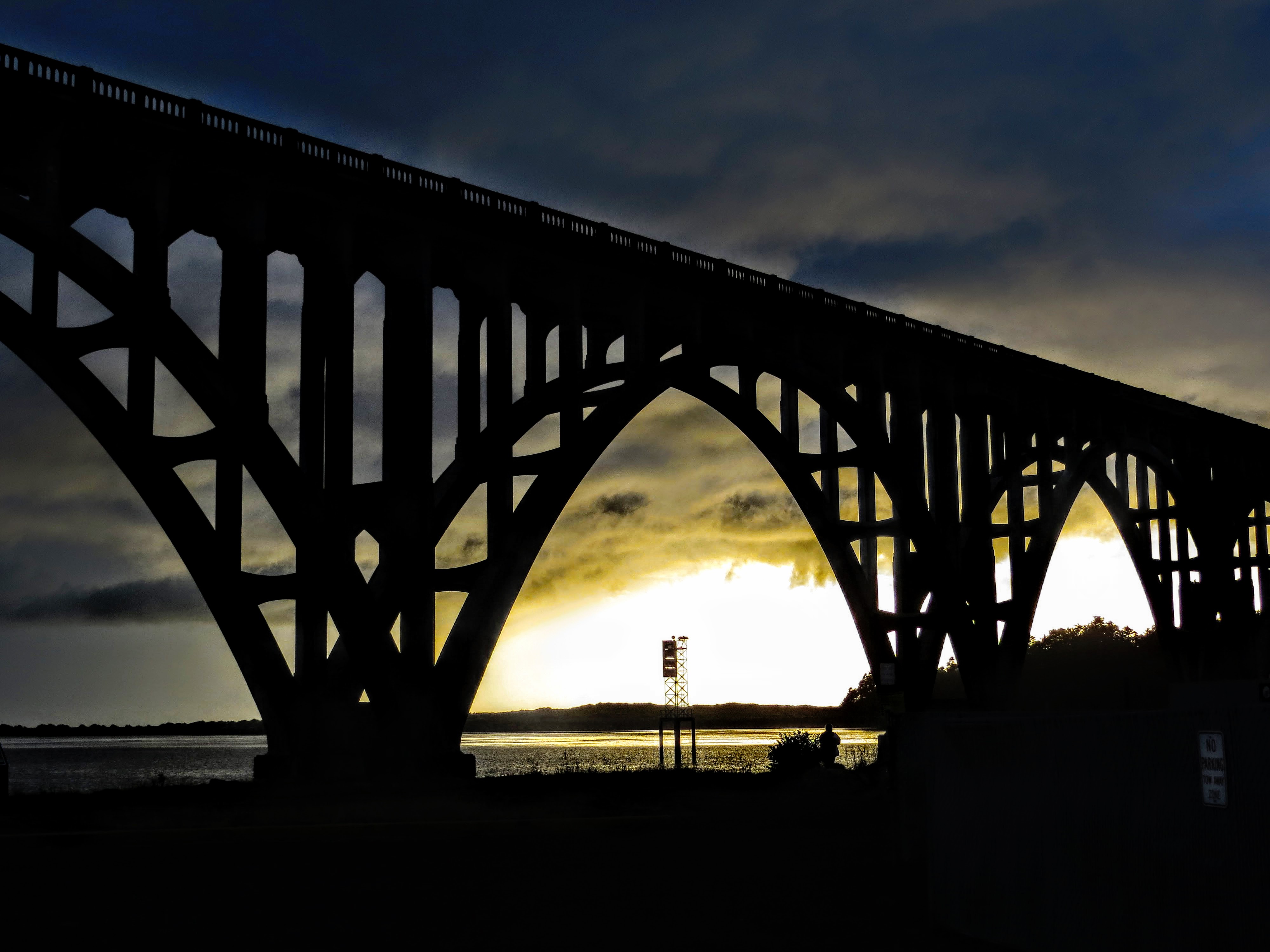
P.S. Like many before me, I too have now contributed to the pool of images of the Yaquina Bay Bridge (See Left).
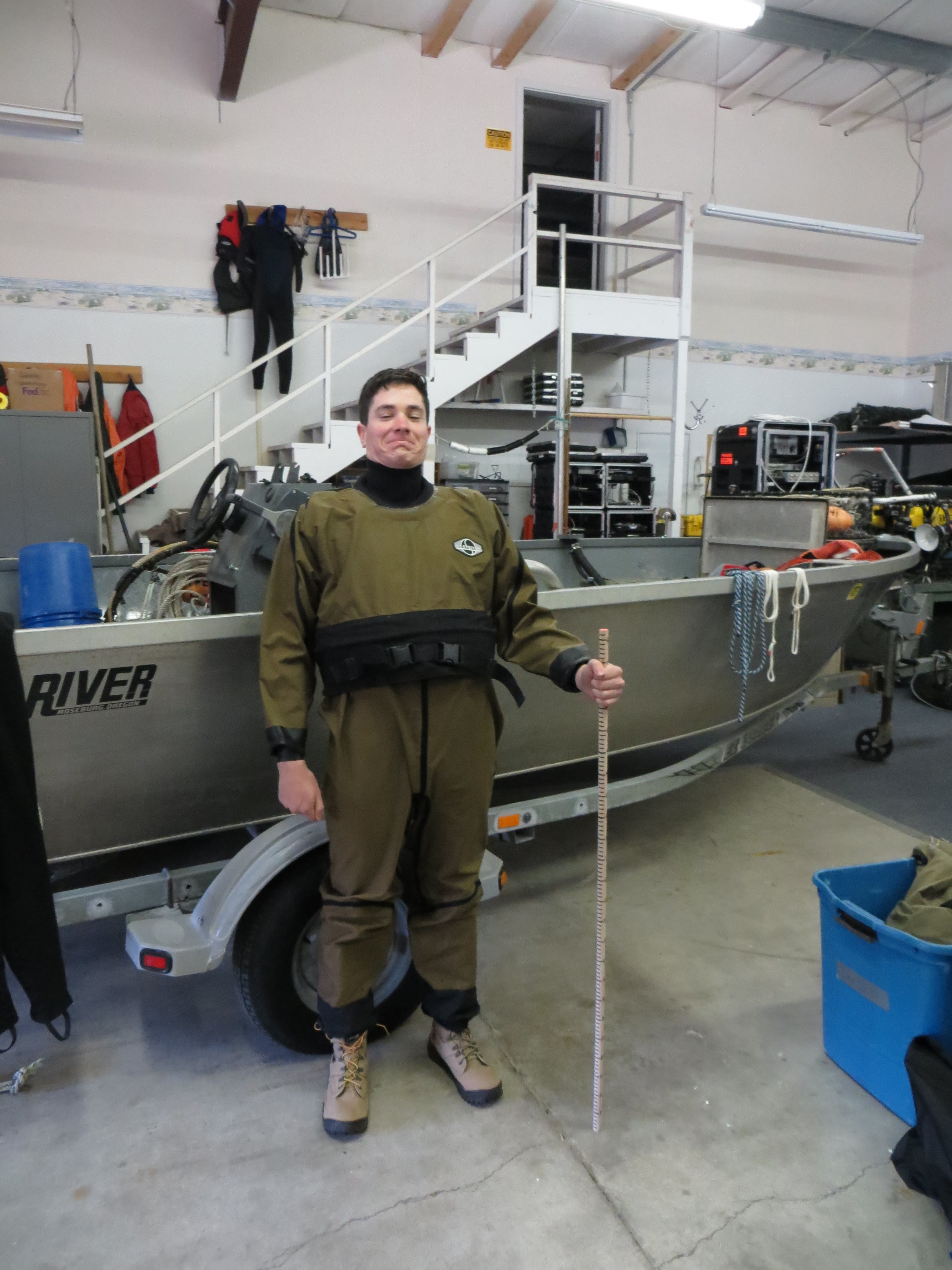
ODFW & SEACOR: The Shellfish and Estuarine Assessment of Coastal Oregon (SEACOR, pronounced “seeker”), is operated under the auspices of the Marine Resources Program of ODFW and is primarily funded by recreational shellfish licenses. They have enlisted my help for field work in several major Oregon estuaries. Additionally, I have been tasked with aiding in operating and evaluating Unmanned Aerial Vehicles’ (UAVs) potential for rapid assessment of shellfish burrow hole counts and eelgrass estimates. Utilizing various software, UAV imagery is stitched (also called a mosaic), referenced to a position on the planet, and exported for further use and/or analysis in a Geographic Information System (GIS).
 UAVs: Often given a bad rap for landing on the White House lawn and interrupting firefighting flights, UAVs (or more commonly, drones) remain an undeniably game-changing technology in photogrammetry and scientific research due to their affordability and ease of use. We will be primarily utilizing a Turbo Ace Matrix quadcopter: a reliable, lightweight carbon-fiber/aluminum bodied UAV carrying a Sony RX100 camera sensor.
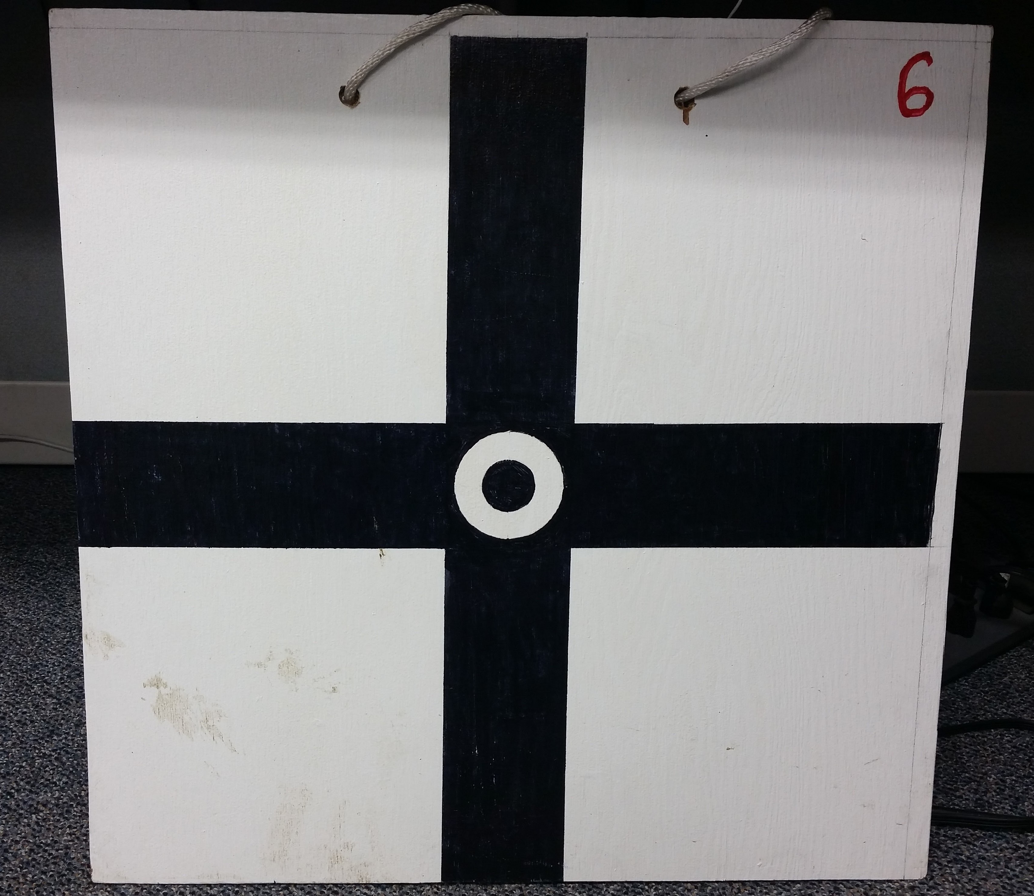
 GIS: In order to utilize the UAV imagery with computer mapping tools (i.e. ArcGIS), we need to position several Ground Control Points (GCPs) along the anticipated flight path of our UAV. GCPs allow us to make geographic ties between the images we collect and the real coordinates of the high-accuracy GCPs. Our GPS coordinates will be collected using a professional-grade Trimble GPS receiver prior to the UAV flight. Once our imagery and GCPs are collected we can “georeference” our imagery so that we can make more accurate calculations.
Next week: Estuary Field Work, RStudio, and more!


Great Blog! Looking forward to what comes next. The use of the UAV in your field work for georeferencing sounds like the way to go for rapid data. Good luck
Your work sounds extremely interesting and technical, and from reading this blog post it sounds like we definitely made the right decision in placing you in this position! Great photos with descriptions for the blog. I’m looking forward to hearing from about your project as the summer progresses!
I concur with above comments – your posting style is very cool and well-suited to your “mission” this summer. Thanks for defining all those acronyms. Definitely a creative way to tell your summer story!!