
By Norma Kline, Oregon State University Extension Forester for Coos and Curry Counties
This is the 7th article in the Writing a Forest Management Plan series. The objective of this series is to break the process of writing a forest management plan into simple steps intended to make the process accessible and straight forward regardless of your previous skills and knowledge. If you already have a management plan, use these steps to help review and update your plan.
The first articles cover how to generate the basic property information and maps for your forest management plan from web-based mapping resources, map forest cover (stands) based on stand age and species, describe stand characteristics and take simple plot measurements and make simple calculations of stand averages from your plot data. The links to the first six topics are at the end of this article. In this article, we will discuss how to find the soils and geologic information for your property.
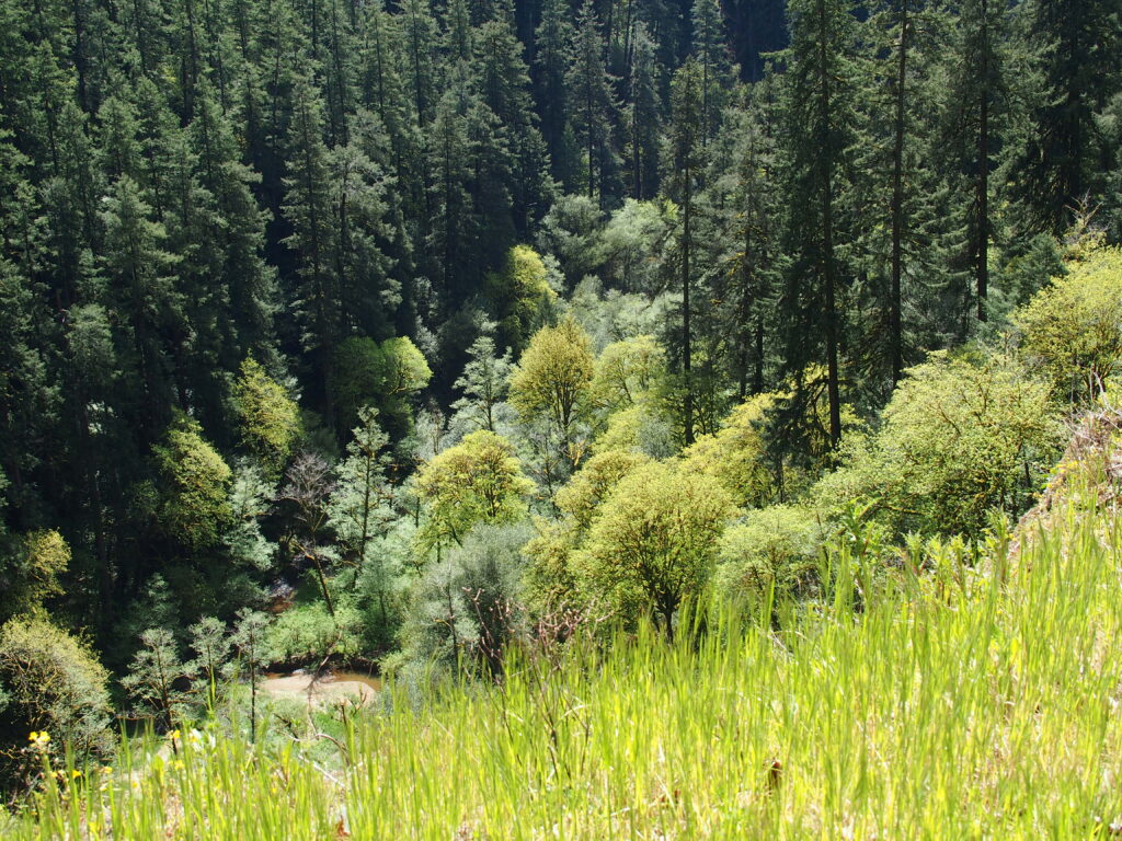
Have you ever wondered why trees on some areas of your property grow faster than in other areas? The productivity of various areas on your property will be influenced by the type of soils in those areas. The primary source for soils information is the Natural Resources Conservation Service’s Web Soil Survey (WSS, link in the references). The WSS is an easy way to view soil data for your property. These maps and associated data provide a foundation for understanding differences in vegetation types on your property and may also alert you to potential problems such as risks of erosion and compaction. You might find that there are mapped soil types on your property that do not support trees; this might explain the presence of natural meadows. Other areas may have soil types rated as highly productive for growing trees. Information about soils is extremely useful in management planning, as it provides information on where a landowner could focus intensive forest management versus areas where they might emphasize other management objectives such as improving wildlife habitat.
Here is a quick tutorial for using the WSS
- First, after you have opened the Web Soil Survey website (link in References), select the green Start WSS button.
- Zoom into your property and draw an Area of Interest (AOI) using the AOI tool located in the tool menu found at the top of the Area of Interest Interactive Map; double-click to end drawing and create AOI. Note: You have a choice of drawing a square or a polygon AOI.
- Select the Soil Map tab.
- View the characteristics of each mapped soil type (Figure 1) by selecting the soil type in the Map Unit Name in the table (Figure 2).
- Download maps and information by selecting the Shopping Cart (Free) tab, and selecting the “check out” button in the upper right corner of the screen.

In the example in Figure 1, we see that the mapped area labeled as 62, has a map unit name of Willanch fine sandy loam. This soil is characterized by being poorly drained with frequent flooding (Figure 2), which is not surprising since it is in the creek floodplain. Conversely, 38 F, Milbury-Bohannon-Umpcoos association, is a well-drained gravelly loam. It is important to point out that the mapped delineations between soil types are not exact.

The NRCS WSS has a wealth of information regarding the suitability and limitations of each soil type and is a fascinating site to explore. Select the Soil Data Explorer tab to view land management limitations and suitability regarding road construction, mechanical site preparation and vegetative productivity. This useful information can be added to the description in the Soils Table. To read more on determining site class and site productivity for each soil type, refer to the article, Site Quality, Site Index, Site Class: Applying these Concepts on Your Woodland in the Resource section below.
Another way to add soils information to your management plan is by using the Land Mapper website as discussed in the first article in this series. Land Mapper automatically generates an array of useful maps for your property. These maps can be easily downloaded as PDF files as well as geospatial PDFs that can be uploaded into a digital mapping program (such as Avenza) for use out in the field. The Soils type map and information in Land mapper uses the NRCS soils information as a base, the associated data is a subset of information from the NRCS site.
Proceeding along after the soils table in the management plan template, you will find another table: List of Unique Geological Sites. There are several sources of geologic information that will provide insight into the rock types found on your woodland. The WSS gives a description of the parent material (the geologic material from which soil horizons are formed) in the map unit description of each soil type (Figure 2). Another source of information is the Geologic Map of Oregon, published by the Oregon Department of Geology and Mining Industries. To us this web based interactive map, zoom into your location and click on the geologic polygon(s) to see a description of the geology (Figure 3). If you are aware of landslides or slope instability on your property, this would be important to note as well.

In our next article, we will discuss how to find the water resources information for your property. The location and description of streams, lakes, wetlands and springs will be important if you plan harvest or road construction activities as there are a number of forest practice regulations that relate to their protection.
Resources
Web Soil Survey. https://websoilsurvey.nrcs.usda.gov
Site Quality, Site Index, Site Class: Applying these Concepts on Your Woodland. https://blogs.oregonstate.edu/southcoastfieldforest/2023/02/16/site-quality-site-index-site-class-applying-these-concepts-on-your-woodland/#more-671
Geologic Map of Oregon. https://www.oregon.gov/dogami/geologicmap/Pages/index.aspx
Oregon Forest Management Plan Template and Guidance. https://blogs.oregonstate.edu/forestplanning/templates/
Articles in the Writing a Forest Management Plan Series:
1 – Start with the Easy Sections. https://blogs.oregonstate.edu/southcoastfieldforest/2024/02/15/writing-a-forest-management-plan-start-with-the-easy-sections/
2 – Mapping Stands.
3 – Measuring Plots to Describe Your Woodland.
4 – Summarizing Plot Measurements to Describe Your Woodland.
5 – Describing Stand Characteristics.
6 – Writing a Forest Management Plan: Using Stand Inventory Data to Determine Density.
