thanks for the memories!

Well, I guess this is it…

It’s hard to believe this is the end of my fellowship. It all happened so quickly, but I am extremely grateful for the experience, opportunities, and friendships made in the process. Since this project will take several years to complete, I am satisfied with the progress we have made so far. Overall, Oregon and Washington are closer to Geographic Location Descriptions (GLDs) for seabed mining, seafood processing discharge, and offshore aquaculture. While some are closer than others, I believe each coastal program is equipped with the tools necessary to finish the product. We also were able to complete a Guidance Document for other Coastal Programs who wish to pursue GLDs in the future.

Geographic Location Descriptions are one of the many tools available to Coastal Programs, including the Oregon and Washington Coastal Management Programs. These documents allow the Coastal Program to review activities outside of the coastal zone for reasonably foreseeable effects to coastal resources. These resources span from recreation and tourism, to fishing practices in state waters. Each of these uses/resources must be balanced with the authorization of an activity in federal waters that is shown to have those effects.

 Seabed Mining

Seabed mining is something most Coastal Programs should plan for, as it is likely to become an emerging use in the future. Scientists have estimated that it is only a matter of time before mining activities shift their focus on the mineral resources found in the ocean. As technology evolves, and the resources found on land become more finite, it can be inferred that seabed mining will be an emerging use. To best prepare for these activities and the reasonably foreseeable effects to coastal resources, both Oregon and Washinton have begun to prepare a GLD for offshore seabed mining. This GLD will ensure each Coastal Program has a seat at the table, as it coordinates with the relevant federal agencies. Under the Coastal Zone Management Act, and its implementing regulations, federal agencies are tasked with coordinating with State Coastal Management Programs to ensure that those federal actions are consistent with enforceable policies located in the coastal zone. In this case, there still needs to be more information known about the technology, but the reasonably foreseeable effects are well delineated. Some of these effects include permanent changes to benthic habitat, water quality degradation, and other natural resource management concerns. This work has been critical to each Coastal Program as they find more information, so much so, that the Washington State Legislature and Governor placed a moratorium on seabed mining activities in the coastal zone. This moratorium is encouraged because it has been put in place before political concerns are taken into account.

 Offshore Aquaculture

As of today, the US has remained focused on developing aquaculture facilities in both the nearshore and offshore. The main goal is to decrease the amount of imported seafood that the US relies upon each year. For this reason, the federal government has remained focused on siting facilities in US waters every four years. A GLD will ensure that concerns for natural resources will be discussed prior to authorization. Some of these things include excess nutrient

input, HABs, OAH, competition with the fishing industry, and other relevant/valid issues with an offshore aquaculture facility. The three main types of aquaculture were considered in developing the analysis of reasonably foreseeable effects of aquaculture siting on natural resources. The three main types of aquaculture are: finfish, marine vegetation, and shellfish. Each of these types of aquaculture have impacts to coastal resources and uses, so the Coastal Program remains focused on coordinating with the relevant agencies on developing the framework for siting these facilities in the future. These impacts will be helpful in starting the conversation, in the same way the BOEM Wind Energy Task Force uses the information in the Marine Renewable GLD to determine what the reasonably foreseeable effects could be.

 Offshore Seafood Processing Discharge

This is probably the activity I spent the most time on. Starting in 2015, the State of Oregon and the EPA began coordinating on a permit for offshore seafood processing discharge on the Oregon and Washington continental shelves. Unfortunately, the two agencies were unable to reach an agreement on the coastal effects of the authorization of the activity. One of the primary points of disagreement was that each agency needed to know a lot more information about the oceanographic currents, where the material is going, what the respiration rate is of the material, etc. During my fellowship, I was able to bring this permit to the EPA’s enforcement division along with creating a coordination process with the Quileute Tribe, Quinault Tribe, the State of Washington, the State of Oregon, and the EPA. This coordination group meets quarterly to discuss the complexities of permit enforcement and how to ensure the reporting information can be used to inform the next iteration of the permit in 2024.

 GLD Guidance Document

Due to the gray area involved in drafting GLDs, I was able to help draft a Guidance Document for GLDs. This document discusses the complexities that come with undertaking these projects, especially when the technology is so new. For example, seabed mining is not a practice in the US, so it is difficult to ascertain the types of impacts to key coastal resources without further research. This document should be in publication within the next year.

Final Note

This has been a fantastic opportunity, and I wouldn’t trade it for the world. I feel better equipped to take on a career in coastal management, and am incredibly excited to see what’s next. In the meantime, I was able to participate in a podcast with Felicia Olmeta-Schult to discuss lessons learned from my fellowship, and other information about coastal management.

State Agency Role in Natural Resource Management

One of things that has surprised me the most, is the difficulty State agencies have in weighing all of the interests involved in authorizing activities off the coast. For my project particularly, there are several State agencies who have authority and expertise over key State resources that may be affected by an authorization of an activity. From working in the non-profit world, I was unaware of how many stakeholders are considered throughout the administrative process.

Marine Spatial Planning, is an interesting field, with several intersections of studies involved. From economics to marine sediment management, natural resource agencies are tasked with weighing each and every use and resource to determine whether certain projects can move forward. While this sounds pretty straight-forward, I have learned that this can become pretty tricky, very quickly.

Like many other coastal states, the Oregon Coastal Management Program (OCMP) follows the networked approach, which allows several agencies to have jurisdiction over marine resources located in State waters. This model allows for each agency to “flex” their expertise while also contributing to strategizing the State plan for coastal management. The Dept. of Land Conservation and Development (DLCD) is tasked with ensuring that these needs are met throughout the State, which includes ensuring coastal management is integrated into several other agency work plans. For example, the Oregon Dept. of Fish and Wildlife (ODFW) is tasked with managing the biological resources of the State, including resources found within Oregon’s territorial sea. The OCMP relies heavily on ODFW’s expertise in planning for activities in the territorial sea, and leverages their ability to analyze the effects of certain activities to those resources. In addition to speaking with experts in the agency, OCMP often communicates with the local communities to ensure that their concerns are heard, and responded to (in real time).

Some of the time, these concerns can be at odds with each other, and DLCD is tasked with making the ultimate decision, as to whether certain projects can move forward with the State’s approval.* This dichotomy has been pretty interesting to watch. Over time, I have realized that each of the agency employees have different ways of engaging with these audiences to ensure their voices are heard. For example, one of my mentors has a regular marine policy phone call with ODFW to hear any of these concerns informally. This ensures that the networked partner agency is apprised of potential agency actions, and has the time and space to respond in an unfiltered manner. Hearing these concerns, and coordinating with ODFW has developed into years of a healthy working relationship.

I think learning how to strike this balance has been a great lesson for me, and I hope to implement it as I continue to work in the marine natural resource management world!

*Under the Coastal Zone Management Act, States have the ability to review certain federal permits known to have reasonable foreseeable effects to State resources for compliance with State enforceable policies. While federal government, ultimately has discretion, the State plays a large role in ensuring these concerns are appropriately mitigated by the person pursuing the activity.

A Data Scavenger Hunt for a Geographic Location Description

Wow! I can’t believe I am already 8 months into my Fellowship with DLCD, it really has flown by! As I look back, I think one of the main things that have stuck out to me is how close-knit this community really is. It takes several different entities to have a coastal “blue economy” up and running, including resource managers, fishermen, hotel and recreational employees, etc. Each of these people give a unique perspective to coastal management, and I am very excited to continue to grow these relationships in the final 4 months of my fellowship!

My main project has involved looking at the reasonable coastal effects of offshore seafood processing discharge, and writing a document known as a Geographic Location Description (GLD). This GLD will allow the state to review federal activities or federally authorized activities listed in the document, and approved by NOAA. Over the course of my fellowship, I have been able to gather a majority of the data necessary for the state to begin to understand these effects, and map areas of concern. For example, we are aware that land-based processing facilities discharge high impact wastewater; meaning this wastewater has a high Biological Oxygen Demand (BOD). Research has shown that certain areas that are being discharged into have also seen a recurrence of low dissolved oxygen waters. One of the concerns is that these waters mix with state waters resulting in larger hypoxic events along the shelf. While these discharge events are not the sole cause of the hypoxia, we can infer that it most likely cannot help. Issues like these have been at the heart of my project, and it has been very interesting collaborating with resource managers, academic professionals, industry officials, and others to help gather the information necessary for the GLD. (I like to think of it as a scavenger hunt!)

Due to the pandemic response, I am also blessed to be working from home on my project. It was definitely an adjustment at first, but I feel like I am more used to working from my living room now! As I am rounding the corner of my fellowship, I hope to have a GLD ready to turn into NOAA. If not, I hope to have DLCD much closer to having one, than when I began!

Natural Resource Policy Fellowship with the Department of Land Conservation and Development

Posted on Behalf of Nick Tealer

I have truly enjoyed my experience at DLCD so far. We have been extremely busy with public engagement meetings, Commission meetings, state agency collaboration, and so much more! It is encouraging to see this many people passionate about conserving our oceans and protecting vital habitat for threatened/vulnerable species.

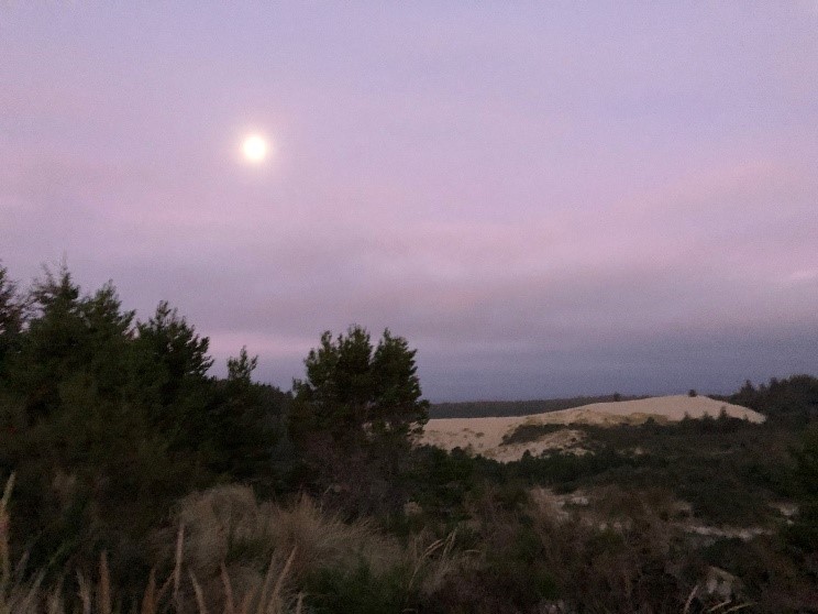
While there have been many highlights in my 4 months here, I can say that my experience in Florence was the pinnacle. Every fall and spring, the OCMP Team meets with Coastal City/County Planners to help inform them about legislative developments, agency developments, and other information helpful to urban planning in the coastal zone. The amount of enthusiasm and ingenuity at those engagement hearings were great to see, and be a part of. In that same trip, the OCMP team was able to explore the Heceta Head Lighthouse, and the Florence Dunes. While I have been in Oregon for three years, this was one of my first trips to the south coast, and I truly enjoyed learning about this region’s history.

Blue and purple morning sky above the Florence, Oregon dunes.
Florence Dunes in the morning. Photo by Nick Tealer

The relationships I have made throughout this experience have been fantastic. The staff has been extremely accommodating and welcoming to me, as well as other state agency officials that I have had the pleasure of contacting. Ranging from DEQ to ODFW, my experience in coordinating with other state officials has been rewarding. I hope that this trend will continue as I become more experienced in the field of marine policy and habitat conservation.

View of the sunset over the ocean. Heceta Head sea stacks in the foreground.
Beach next to Heceta Head where we had burritos on the beach. Photo by Nick Tealer